| Ⅰ | This article along with all titles and tags are the original content of AppNee. All rights reserved. To repost or reproduce, you must add an explicit footnote along with the URL to this article! |
| Ⅱ | Any manual or automated whole-website collecting/crawling behaviors are strictly prohibited. |
| Ⅲ | Any resources shared on AppNee are limited to personal study and research only, any form of commercial behaviors are strictly prohibited. Otherwise, you may receive a variety of copyright complaints and have to deal with them by yourself. |
| Ⅳ | Before using (especially downloading) any resources shared by AppNee, please first go to read our F.A.Q. page more or less. Otherwise, please bear all the consequences by yourself. |
| This work is licensed under a Creative Commons Attribution-NonCommercial-ShareAlike 4.0 International License. |
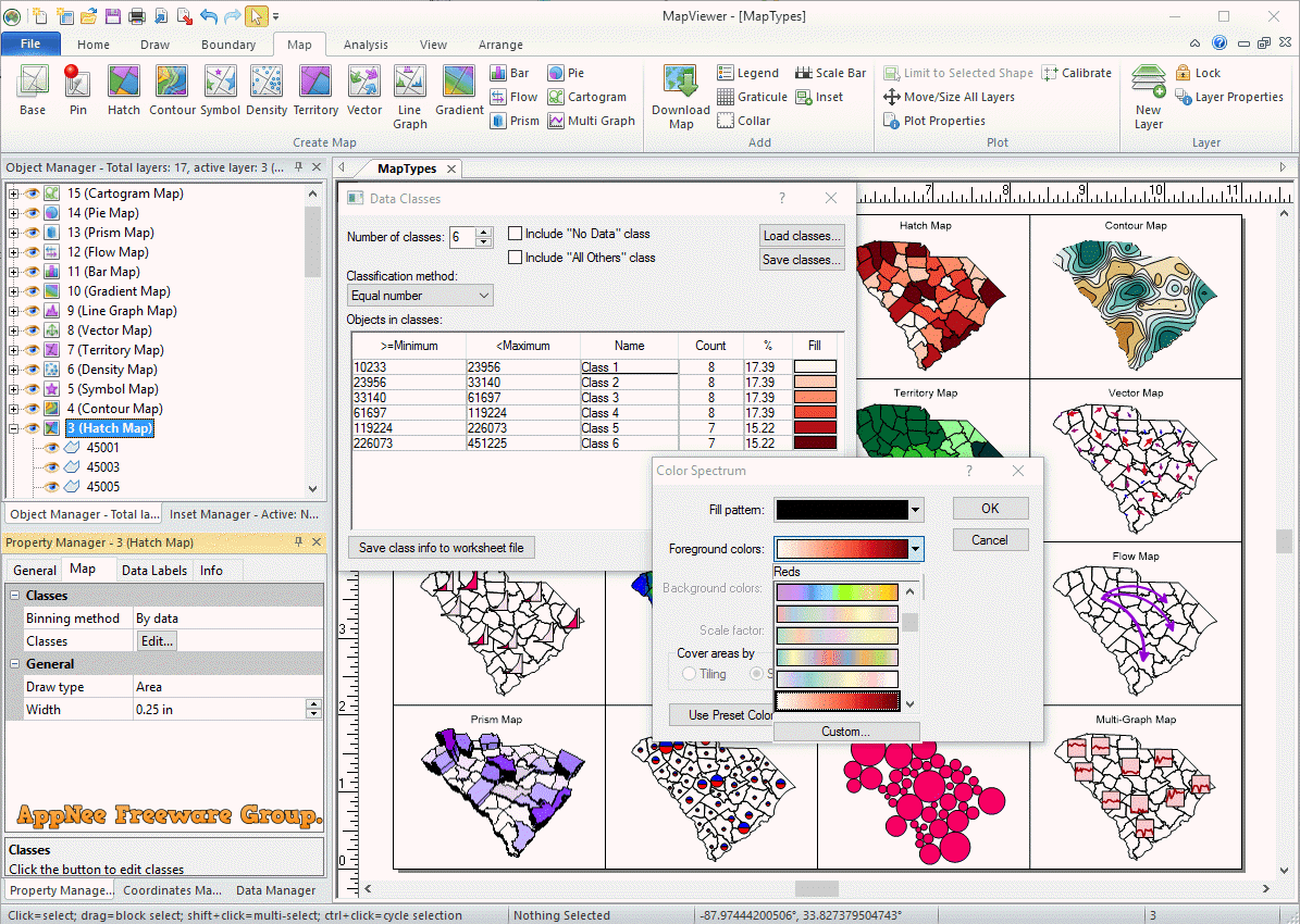
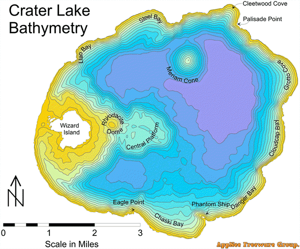
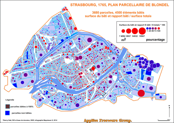
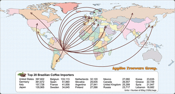
MapViewer is a thematic mapping and spatial analysis software developed by Golden Software, it puts thematic mapping, GIS and spatial analysis features to the test in order to better understand your spatial data. MapViewer enables user to quickly and easily create all kinds of publication-quality thematic maps, making it an excellent choice for quickly drawing all types of complex topographic maps.
As a professional, efficient yet easy-to-use spatial mapping and analysis tool, MapViewer comes with a concise user interface, simple operation, rich built-in map types support, and supports for custom mode. In addition, it provides a powerful data conversion function, so that you don’t have to draw the map data uncomfortably and slowly. Instead, you are now able to quickly convert/import the data to a map through this feature. In MapViewer, the data input can be made using Lotus, Excel, ASCII, etc., and the map graph can be exported as CGM, DXF, BMP, GIF, EPS, HPGL, and so on file formats.
Compared to previous versions, MapViewer 8 added a lot of new features, and optimized some of the previous design tools. For example, you can utilize the new multi-graph map pattern, create the line/scatter diagram of each boundary, etc. In short, it allows you to design and create more detailed spatial maps now.
// Key Features //
- Create Professional Thematic Maps
- Enhance Maps
- Make Informed Decisions
- Work Seamlessly with all Coordinate Systems
- Immediate Access to Online Data
- Complete Compatibility
- Collaborate with Confidence
- Streamlined Workflows
- Work Smart, Not Hard with Automation
// Drawable Map Types //
- Base Maps
- Pin Maps
- Choropleth Maps
- Contour Maps
- Symbol Maps
- Density Maps
- Territory Maps
- Vector Maps
- Line Graph Maps
- Gradient Maps
- Bar Maps
- Flow Maps
- Prism Maps
- Pie Maps
- Cartogram Maps
- Multi-graph Maps
// Official Demo Video //
// Universal Serial Numbers //
| Serial Numbers |
|
// Edition Statement //
AppNee provides the MapViewer multilingual full installers and all versions universal serial numbers for Windows 32-bit and 64-bit.
// Installation Notes //
- Download and install MapViewer
- Run program, and use the universal serial number above to register
- Done
// Related Links //
- MapViewer Online Help
- MapViewer Quick Start Guide (PDF)
- MapViewer Full User’s Guide (PDF)
- MapViewer Official Video Tutorials
- MapViewer Knowledge base
- MapViewer Gallery
- MapViewer F.A.Q.
// Download URLs //
| Version | Download | Size |
| v8.2.277 | reserved | n/a |
| v8.4.406 | reserved | n/a |
| v8.6.651 |  |
87.3 MB |
(Homepage)
| If some download link is missing, and you do need it, just please send an email (along with post link and missing link) to remind us to reupload the missing file for you. And, give us some time to respond. | |
| If there is a password for an archive, it should be "appnee.com". | |
| Most of the reserved downloads (including the 32-bit version) can be requested to reupload via email. |