| Ⅰ | This article along with all titles and tags are the original content of AppNee. All rights reserved. To repost or reproduce, you must add an explicit footnote along with the URL to this article! |
| Ⅱ | Any manual or automated whole-website collecting/crawling behaviors are strictly prohibited. |
| Ⅲ | Any resources shared on AppNee are limited to personal study and research only, any form of commercial behaviors are strictly prohibited. Otherwise, you may receive a variety of copyright complaints and have to deal with them by yourself. |
| Ⅳ | Before using (especially downloading) any resources shared by AppNee, please first go to read our F.A.Q. page more or less. Otherwise, please bear all the consequences by yourself. |
| This work is licensed under a Creative Commons Attribution-NonCommercial-ShareAlike 4.0 International License. |
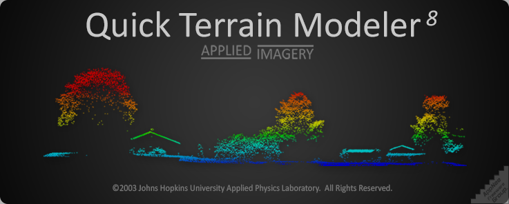
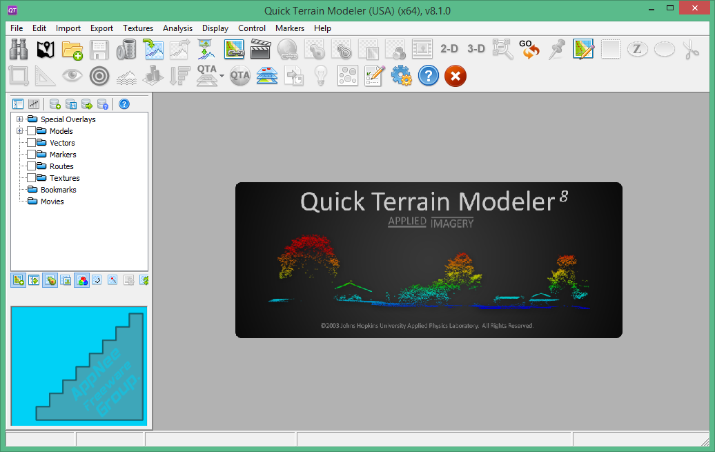
Quick Terrain Modeler (QT modeler for short) is a professional three-dimensional point cloud processing and terrain visualization software. It is mainly suitable for fast processing of large-scale LiDAR or dense point cloud data set acquired by other laser devices, also has functions of browsing, editing and analyzing these point cloud data.
Quick Terrain Modeler employs advanced point cloud data collecting technique, which can obtain data from fixed-point and mobile laser scanning equipment; performs browse, edit and analysis jobs to point cloud data; supports recording virtual views, PAT editing mode, coloring through LAS point source ID, and more. Although it is specially designed to work with LiDAR, it is flexible enough to adapt to other 3D data sources, so as to allow users to utilize data in more formats, to render larger models, to analyze data more quickly, and to export various products.
With this fast and powerful terrain modeling tool, users are able to design and generate a variety of 3D models, including: map model, road model, city model, etc. In addition, combined with the three-dimensional scanning functionality, you can add the aerial pictures and satellite map resources into Quick Terrain Modeler to generate models quickly and easily. This case, the test data can be analyzed more intuitively, and the standardized map model can be built more quickly.
// Official Demo Video //
// Edition Statement //
AppNee provides the Quick Terrain Modeler multilingual full installers and unlocked files, license file for Windows 64-bit only.
// Installation Notes //
for v8.1.0.0:
- Download and install Quick Terrain Modeler
- Copy the unlocked file to installation folder and overwrite
- Done
for v8.0.7.2:
- Download and install Quick Terrain Modeler
- Copy the unlocked files to installation folder and overwrite
- Run Quick Terrain Modeler, input the following license info:
- Name: Neofix
- Password: A17258A2-967EC470-66787D80-6806F14B
- Then it will get struck, this time end all Quick Terrain Modeler process in Task Manager
- Disable your Internet connection temporarily
- Run program again
- Select “Specify the License file” and click ‘Next’
- Browse to the ‘License.dat‘ file and click ‘Next’
- Done
*** Block program with your firewall or use it offline, otherwise you will get stuck at the “QT Status” window.
// Related Links //
// Download URLs //
| License | Version | Download | Size |
| USA Version | v8.4.0 |  |
1.00 GB |
*** USA Version has no restrictions compared the International Version (because of security laws).
(Homepage)
| If some download link is missing, and you do need it, just please send an email (along with post link and missing link) to remind us to reupload the missing file for you. And, give us some time to respond. | |
| If there is a password for an archive, it should be "appnee.com". | |
| Most of the reserved downloads (including the 32-bit version) can be requested to reupload via email. |