Tag Archives: GPS

[v24.1] Global Mapper – All-in-one GIS solution for everyone
This article along with all titles and tags are the original content of AppNee. All rights reserved. To repost or reproduce, you must add an explicit footnote along with the URL to this article!
Any manual or automated whole-website collecting/crawling behaviors are strictly prohibited.
Any resources shared on AppNee are limited to personal study and research only, any form of commercial behaviors are strictly prohibited. Otherwise, you may receive a variety of copyright complaints and have to deal with them by yourself.
Before using (especially downloading) any resources shared by AppNee, please first go to read our F.A.Q. page more or less. Otherwise, please bear all the consequences by yourself.
This work is licensed under a Creative Commons Attribution-NonCommercial-ShareAlike 4.0 International License.

Global Mapper is a pretty professional map plotting software with comprehensive and powerful functions, as well as friendly UI for everyone to use (praised by numerous users around the world). Global Mapper by itself has all the features of a GIS, and can simplify the complex problems. In the same industry, its main rivals include Esri, GeoMedia, Manifold, and MapInfo GIS products.

Continue reading [v24.1] Global Mapper – All-in-one GIS solution for everyone
[v6.9] BackCountry Navigator – Offline TOPO GPS map navigation for wilderness exploration

BackCountry Navigator (AKA: BackCountry Navigator TOPO GPS) is an offline GPS map navigation app mainly used for outdoor adventures, developed by CritterMap Software. It can turn your Android-based smartphone or tablet into an outdoor navigation tool that can perfectly replace the traditional handheld GPS devices. Although the software is small in size, it is powerful enough, and supports downloading maps and aerial photos over the Internet.

Continue reading [v6.9] BackCountry Navigator – Offline TOPO GPS map navigation for wilderness exploration

If some download link is missing, and you do need it, just please send an email (along with post link and missing link) to remind us to reupload the missing file for you. And, give us some time to respond.
If there is a password for an archive, it should be "appnee.com".
Most of the reserved downloads (including the 32-bit version) can be requested to reupload via email.

EasyGPS – World’s #1 free GPS software

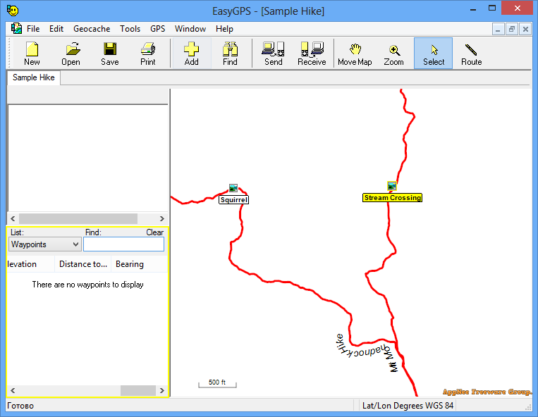
EasyGPS is a simple, easy-to-use, practical and powerful computer-GPS navigation equipment interconnection software. It helps user easily manage waypoint and route data, supports GPX/LOC file formats, and is compatible with various brands of GPS receivers, such as Garmin, Magellan, Lowrance GPS, enabling us to easily browse various road maps on a computer.

Continue reading EasyGPS – World’s #1 free GPS software

Google Earth Pro – Only best 3D earth/map explorer

The 3D map location technology used in Google Earth Pro pushed the latest satellite pictures on Google Maps to a new level. More its features can be skimmed through the following “Key Features” list or fully understood from its official website.

Continue reading Google Earth Pro – Only best 3D earth/map explorer

[v4.0] WirelessMon – Monitor, verify and locate Wi-Fi networks & signal levels in real time

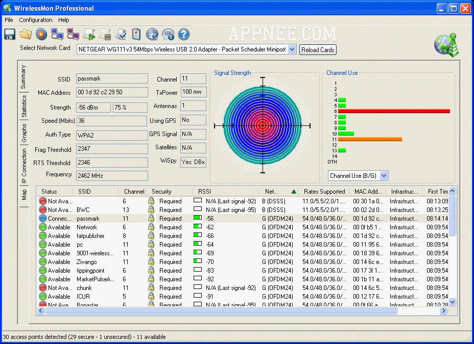
Today, all laptops come with wireless network adapter. At the same time, the huge convenience of wireless network is obvious. But since it is subject to technical bottleneck, the stability and quality of wireless network always can’t catch up with wired network. That is to say, the most annoying thing when using a wireless network is the poor signal, especially you don’t know which one is better.
Continue reading [v4.0] WirelessMon – Monitor, verify and locate Wi-Fi networks & signal levels in real time

HTML5 Geolocation by Anthony T. Holdener III HD PDF, EPUB

HTML5‘s mightiness, we don’t need to introduce too much. Of which, the Geolocation is one of its important features – providing the function for determining user’s location. With this feature, we can develop cool web apps based on geographical location information (especially by calling the Google Maps interface).

Continue reading HTML5 Geolocation by Anthony T. Holdener III HD PDF, EPUB