Tag Archives: LAVteam

[v24.2] CSiBridge – Integrated 3D bridge analysis, design and rating

This article along with all titles and tags are the original content of AppNee. All rights reserved. To repost or reproduce, you must add an explicit footnote along with the URL to this article!
Any manual or automated whole-website collecting/crawling behaviors are strictly prohibited.
Any resources shared on AppNee are limited to personal study and research only, any form of commercial behaviors are strictly prohibited. Otherwise, you may receive a variety of copyright complaints and have to deal with them by yourself.
Before using (especially downloading) any resources shared by AppNee, please first go to read our F.A.Q. page more or less. Otherwise, please bear all the consequences by yourself.
This work is licensed under a Creative Commons Attribution-NonCommercial-ShareAlike 4.0 International License.

CSiBridge is an engineering tool that represents today’s world-class bridge construction standards, combines the modeling, analysis, design and evaluation of bridge structures in one place, specially designed for bridge designers. It comes with a comprehensive set of features and a simple user interface, is easy to use, increases working efficiency, reduces construction time, making it one of the most versatile and productive software products on the market today.

Continue reading [v24.2] CSiBridge – Integrated 3D bridge analysis, design and rating

[v24.1] Global Mapper – All-in-one GIS solution for everyone
Global Mapper is a pretty professional map plotting software with comprehensive and powerful functions, as well as friendly UI for everyone to use (praised by numerous users around the world). Global Mapper by itself has all the features of a GIS, and can simplify the complex problems. In the same industry, its main rivals include Esri, GeoMedia, Manifold, and MapInfo GIS products.

Continue reading [v24.1] Global Mapper – All-in-one GIS solution for everyone

If some download link is missing, and you do need it, just please send an email (along with post link and missing link) to remind us to reupload the missing file for you. And, give us some time to respond.
If there is a password for an archive, it should be "appnee.com".
Most of the reserved downloads (including the 32-bit version) can be requested to reupload via email.

[v8.4] Quick Terrain Modeler – World’s premier 3D point cloud and terrain visualization software

Quick Terrain Modeler (QT modeler for short) is a professional three-dimensional point cloud processing and terrain visualization software. It is mainly suitable for fast processing of large-scale LiDAR or dense point cloud data set acquired by other laser devices, also has functions of browsing, editing and analyzing these point cloud data.

Continue reading [v8.4] Quick Terrain Modeler – World’s premier 3D point cloud and terrain visualization software

[v2.16] 3Dsurvey – Digital image processing suite tailor-made for land surveyors

The traditional method of measuring the terrain by hand is time-consuming and you have to go back and remeasure the details immediately if you find a measurement error. Nowadays, we only need to use drones or other equipment to obtain 2D images and data about terrain, then use tools such as 3Dsurvey for image processing to locate the model, generate dense 3D point clouds from aerial images, so as to analyze each geographical location and design the model easily.

Continue reading [v2.16] 3Dsurvey – Digital image processing suite tailor-made for land surveyors

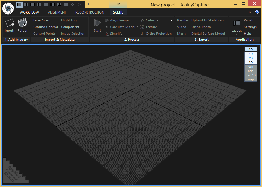
[v1.0.3] RealityCapture – Create 3D maps and models from drone images

RealityCapture is a universal, full-featured photogrammetric application developed by Capturing Reality from China. It is primarily used to completely automatically create 3D models for fields including cultural heritage (art and architecture), full-body scanning, gaming, surveying, mapping, visual effects (VFX) and virtual reality (VR). It is significantly superior to all existing photogrammetric solutions in terms of speed, accuracy and mesh quality.

Continue reading [v1.0.3] RealityCapture – Create 3D maps and models from drone images

[v2.603] Site3D – Full-featured 3D site and road engineering design software

Site3D is a fully functional civil engineering 3D design software that is mainly used for road system and infrastructure engineering design. It can help architectural design engineers quickly and accurately design the entire site, including roads, intersections, sidewalks, ground interfaces, contours, volumes, houses, drainage systems, and so on.

Continue reading [v2.603] Site3D – Full-featured 3D site and road engineering design software