Tag Archives: offline map

[v10.xxx] Universal Maps Downloader – All maps universal download, combiner, viewer and exporter

This article along with all titles and tags are the original content of AppNee. All rights reserved. To repost or reproduce, you must add an explicit footnote along with the URL to this article!
Any manual or automated whole-website collecting/crawling behaviors are strictly prohibited.
Any resources shared on AppNee are limited to personal study and research only, any form of commercial behaviors are strictly prohibited. Otherwise, you may receive a variety of copyright complaints and have to deal with them by yourself.
Before using (especially downloading) any resources shared by AppNee, please first go to read our F.A.Q. page more or less. Otherwise, please bear all the consequences by yourself.
This work is licensed under a Creative Commons Attribution-NonCommercial-ShareAlike 4.0 International License.

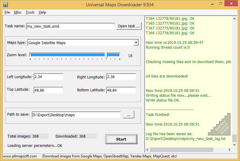
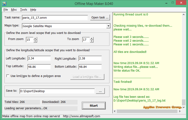
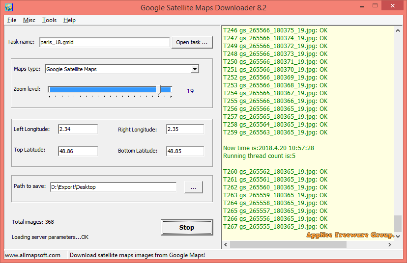
Universal Maps Downloader is a small and handy tool specially designed to download satellite maps from 150+ online map services. It can download map tiles based on the user-defined latitude and longitude scope, and save them on the local disk. Although it supports multi-threaded downloading, I recommend that you use it with setting neither too big scope nor too many download threads.

Continue reading [v10.xxx] Universal Maps Downloader – All maps universal download, combiner, viewer and exporter

[v3.95.xx] OziExplorer – Work with your maps and GPS receiver wherever you are in the world

Electronic maps have replaced the traditional printed maps for a long time, especially after GPS became popular. So, most GPS device users should be familiar with OziExplorer. It is a very classic and excellent GPS mapping program developed by Des Newman from Australia in 1996. It is highly customizable, and allows to use and create custom maps for remote locations that are not fully covered by the major map providers like Tele Atlas. Therefore, it is deeply favored by outdoor enthusiasts (especially off-road drivers and adventure travelers).

Continue reading [v3.95.xx] OziExplorer – Work with your maps and GPS receiver wherever you are in the world

If some download link is missing, and you do need it, just please send an email (along with post link and missing link) to remind us to reupload the missing file for you. And, give us some time to respond.
If there is a password for an archive, it should be "appnee.com".
Most of the reserved downloads (including the 32-bit version) can be requested to reupload via email.

[v6.9] BackCountry Navigator – Offline TOPO GPS map navigation for wilderness exploration

BackCountry Navigator (AKA: BackCountry Navigator TOPO GPS) is an offline GPS map navigation app mainly used for outdoor adventures, developed by CritterMap Software. It can turn your Android-based smartphone or tablet into an outdoor navigation tool that can perfectly replace the traditional handheld GPS devices. Although the software is small in size, it is powerful enough, and supports downloading maps and aerial photos over the Internet.

Continue reading [v6.9] BackCountry Navigator – Offline TOPO GPS map navigation for wilderness exploration

[v8.x] Offline Map Maker – Download and make a offline map of your city

Offline Map Maker is a simple and friendly offline map download and production tool developed by AllMapSoft from China. It can help you get tiled images from all the popular online map services (such as Google Maps, Yahoo Maps, Bing Maps, and OpenStreetMap) for making and browsing offline maps without Internet connection required.

Continue reading [v8.x] Offline Map Maker – Download and make a offline map of your city

[v8.xx] Google Satellite Maps Downloader – Focuses on downloading Google satellite map images

If you need to make a high-resolution satellite map of a city or any specified area, then AllMapSoft‘s Google Satellite Maps Downloader (GSMD for short) this straightforward and intuitive small app can help you a lot. It automatically and very fast downloads numerous small piece of satellite maps on Google Maps (according to the user specified geographical coordinates: latitude and longitude range + zoom level) with ease, then combines them together and outputs as a huge image file in multiple common-used formats.

Continue reading [v8.xx] Google Satellite Maps Downloader – Focuses on downloading Google satellite map images