Tag Archives: spatial data

[v2.1.1, v1.7.1, v1.6.5] Agisoft Metashape – Fully automated professional photogrammetric kit

This article along with all titles and tags are the original content of AppNee. All rights reserved. To repost or reproduce, you must add an explicit footnote along with the URL to this article!
Any manual or automated whole-website collecting/crawling behaviors are strictly prohibited.
Any resources shared on AppNee are limited to personal study and research only, any form of commercial behaviors are strictly prohibited. Otherwise, you may receive a variety of copyright complaints and have to deal with them by yourself.
Before using (especially downloading) any resources shared by AppNee, please first go to read our F.A.Q. page more or less. Otherwise, please bear all the consequences by yourself.
This work is licensed under a Creative Commons Attribution-NonCommercial-ShareAlike 4.0 International License.

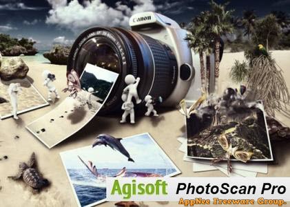
Agisoft PhotoScan (now called Agisoft Metashape) is a three-dimensional model refactoring tool based on digital image & video, developed by Agisoft from Russia, and widely used by archaeologists and UAV companies. It can use the plane images to automatically generate high-quality 3D model, which can be understood as a process of converting a series of 2D images to a 3D model. Therefore, this is a well-deserved edge tool for users with many 3D modeling needs.

Continue reading [v2.1.1, v1.7.1, v1.6.5] Agisoft Metashape – Fully automated professional photogrammetric kit

MyTourbook – Visualize and analyze tours recorded by a GPS device

MyTourbook is a free program to visualize and analyze tours which are recorded by GPS device, bike or exercise computer and ergometer. It’s primarily designed for outdoor sports enthusiasts who want to evaluate, compare and record their runs, trips recorded using GPS devices.

Continue reading MyTourbook – Visualize and analyze tours recorded by a GPS device

If some download link is missing, and you do need it, just please send an email (along with post link and missing link) to remind us to reupload the missing file for you. And, give us some time to respond.
If there is a password for an archive, it should be "appnee.com".
Most of the reserved downloads (including the 32-bit version) can be requested to reupload via email.

[v8.6] MapViewer – Make the most of your spatial data

MapViewer is a thematic mapping and spatial analysis software developed by Golden Software, it puts thematic mapping, GIS and spatial analysis features to the test in order to better understand your spatial data. MapViewer enables user to quickly and easily create all kinds of publication-quality thematic maps, making it an excellent choice for quickly drawing all types of complex topographic maps.

Continue reading [v8.6] MapViewer – Make the most of your spatial data