Tag Archives: photogrammetry

[v2.1.1, v1.7.1, v1.6.5] Agisoft Metashape – Fully automated professional photogrammetric kit

This article along with all titles and tags are the original content of AppNee. All rights reserved. To repost or reproduce, you must add an explicit footnote along with the URL to this article!
Any manual or automated whole-website collecting/crawling behaviors are strictly prohibited.
Any resources shared on AppNee are limited to personal study and research only, any form of commercial behaviors are strictly prohibited. Otherwise, you may receive a variety of copyright complaints and have to deal with them by yourself.
Before using (especially downloading) any resources shared by AppNee, please first go to read our F.A.Q. page more or less. Otherwise, please bear all the consequences by yourself.
This work is licensed under a Creative Commons Attribution-NonCommercial-ShareAlike 4.0 International License.

Agisoft PhotoScan (now called Agisoft Metashape) is a three-dimensional model refactoring tool based on digital image & video, developed by Agisoft from Russia, and widely used by archaeologists and UAV companies. It can use the plane images to automatically generate high-quality 3D model, which can be understood as a process of converting a series of 2D images to a 3D model. Therefore, this is a well-deserved edge tool for users with many 3D modeling needs.

Continue reading [v2.1.1, v1.7.1, v1.6.5] Agisoft Metashape – Fully automated professional photogrammetric kit

[v7.000] 3DF Zephyr – Automatically reconstruct 3D models from photos or videos

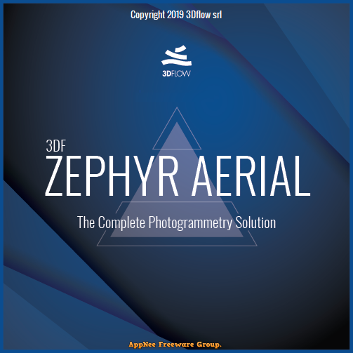
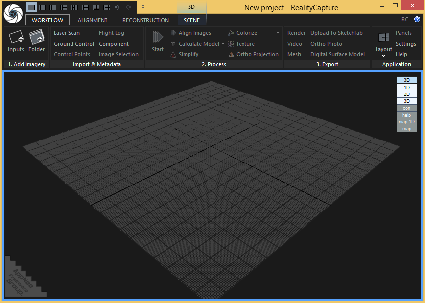
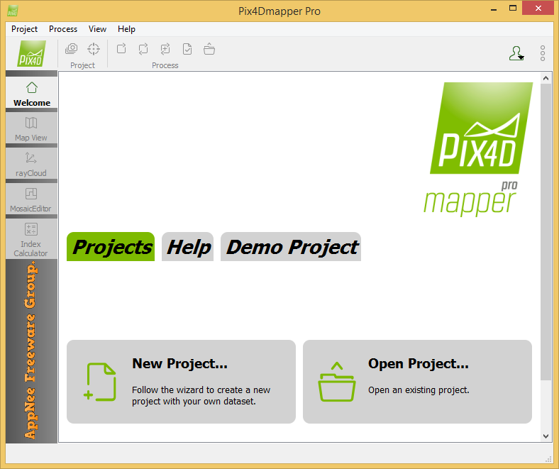
3DF Zephyr is a photo/video to 3D model photogrammetry software with simple operation and powerful functionality, developed by 3DFLOW from Italy. It’s built on 3DFLOW’s proprietary, cutting-edge reconstruction technology, allows user to automatically and easily reconstruct 3D models from photos or videos. So far, it has owned the most accurate, automatic and best-designed Multiview-Stero algorithm on the market.

Continue reading [v7.000] 3DF Zephyr – Automatically reconstruct 3D models from photos or videos

If some download link is missing, and you do need it, just please send an email (along with post link and missing link) to remind us to reupload the missing file for you. And, give us some time to respond.
If there is a password for an archive, it should be "appnee.com".
Most of the reserved downloads (including the 32-bit version) can be requested to reupload via email.

[v1.0.3] RealityCapture – Create 3D maps and models from drone images

RealityCapture is a universal, full-featured photogrammetric application developed by Capturing Reality from China. It is primarily used to completely automatically create 3D models for fields including cultural heritage (art and architecture), full-body scanning, gaming, surveying, mapping, visual effects (VFX) and virtual reality (VR). It is significantly superior to all existing photogrammetric solutions in terms of speed, accuracy and mesh quality.

Continue reading [v1.0.3] RealityCapture – Create 3D maps and models from drone images

[v4.5, v2.0] Pix4Dmapper – Leading photogrammetry software for professional drone mapping

Pix4Dmapper (formerly called Pix4UAV) is a is a fully automatic, fast and professional UAV mapping and photogrammetry software developed by Pix4D from Switzerland. It is the research result of EPFL (École Polytechnique Fédérale de Lausanne), a world-class research institution, in the past 10 years. It is also the unique UAV data and aerial image processing software integrating full-automatic operation, fast processing and professional precision in one place in the market.

Continue reading [v4.5, v2.0] Pix4Dmapper – Leading photogrammetry software for professional drone mapping